Area Forecast Discussion National Weather Service Medford OR 2:51 PM PST Sun Jan 12 2020 .DISCUSSION... Short Term...Tonight through Wednesday Night...A cold front is pushing through the area this afternoon, producing plenty of rain for the lower elevations and snow above roughly 3000 to 4000 feet. Two more waves will arrive through tomorrow night, each enhancing precipitation and reinforcing the colder air in place over the region. We will have a few chances of low elevations snow through Tuesday morning a well. Active weather will continue through the short term period, culminating with the arrival of a strong Pacific storm Wednesday night. Precipitation today will taper off into showers tonight as snow levels lower behind the departing cold front. By sunrise tomorrow, snow levels are expected to be between 1000 and 1500 feet, allowing for snow to fall down to some of the valley floors, particularly in the upper Rogue Valley. However, as precipitation amounts will be on the downswing, we do not expect much in the way of accumulation. Still, the morning commute may be interesting. The next front arrives Monday evening, followed by another weak system Tuesday. Snow levels throughout this time should hover around 2500 feet, with the exception of Tuesday morning when snow levels could drop as low as 1000 feet. This will be the second chance for lower elevation snow, but this time precipitation rates will remain elevated, and an inch or two of valley snow is not out of the question before snow level rebound later in the day. Meanwhile, throughout all of the aforementioned time, snow will persist across the higher elevations and the East Side. this is especially true in the Cascades, which have seen and will continue to see enhanced snow accumulations due to the westerly flow and strong geographic uplift. Gusty winds will accompany the snowfall this evening and tonight, and there will be additional impacts as a result. For details on snow amounts and expected impacts, see the numerous winter weather warnings and advisories at PDXWSWMFR. As mentioned in this morning`s discussion, model guidance continues to show a significant low forming off the coast Wednesday afternoon and evening. Guidance across all model suites depict this low rapidly deepening as it moves east before moving onshore Thursday. There are still many details that remain uncertain due to the possible tracks the low could take, but signs are pointing toward a potentially strong wind event for the coast, the East Side, and the higher terrain, along with another round of rain and snow. Snow levels are expected to be around 2500 to 3000 feet across the area, and with strong south winds up the Sacramento Valley producing significant geographic uplift, Mt Shasta City and surrounding areas could receive in excess of a foot of snow by midday Thursday. Meanwhile, additional snow is likely for the Siskiyous, Cascades, and much of the East Side. We will keep an eye on this developing system and update the forecast details as confidence increases. -BPN
Weather Forecast for Sunday Night Jan 12th
R
Ryan Finlay
·3 min read
Related
Stay up to date
Get new posts from Roseburg Tracker in your inbox.
More Stories
Jerry Bruce Community Campus Hosts Third Annual Charity Golf Scramble
Roseburg tournament raises money for United Community Action Network
1 min read3rd Annual Nonprofit Summit Hosted by Aviva Health
Two-day conference for nonprofit leaders set for April 8-9 in Roseburg
1 min readIn Memory of John Lindsey
John Payne Lindsey, 79, of Roseburg, Oregon, was unexpectedly called home to heaven on Dec. 12, 2025, surrounded by his family. John was born March 19...
2 min readRoseburg Man Charged With Murder of 11-Month-Old Son
DOUGLAS COUNTY, Ore. – A Roseburg man is in custody tonight charged with the murder of his 11-month-old son. On Sunday, March 15, 2026, shortly befor...
2 min readK9 Nike to Retire From Winston Police Department
Winston Police Dog Retires After Eight Years of service.
1 min read
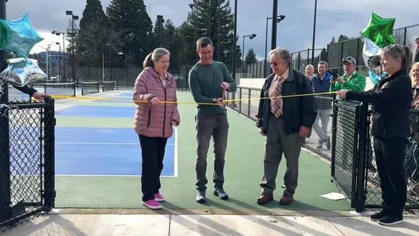
Roseburg Cuts Ribbon on New Outdoor Tennis and Pickleball Facility
Roseburg’s rebuilt outdoor Stewart Park complex is now open with eight tennis courts and 10 pickleball courts.
3 min readStay informed
Get the latest stories from Roseburg Tracker delivered straight to your inbox.