Here is the latest forecast discussion from the National Weather Service out of Medford for the coming week. The photo is the current satellite view of the West Coast from the GOES 17 satellite. SHORT TERM...Tonight through Thursday night...While the area with freezing temperatures will not be as large as it was this morning, another Freeze Warning has been issued for portions of Josephine and Jackson counties early Wednesday morning. This includes the Illinois Valley, Applegate Valley, and rural Jackson County near Brownsboro. Inland skies will remain clear through Wednesday evening, which will aid overnight cooling. At the coast, stratus is expected to arrive around 8 PM PDT tonight and persist throughout Wednesday into Thursday afternoon. This stratus will fill into the Coquille and Umpqua valleys overnight into Wednesday morning, with gradual clearing to follow late Wednesday morning into early Wednesday evening. With either clear or clearing skies, inland highs on Wednesday will once again be several degrees above normal. Coastal clouds will thicken and spread inland Wednesday night as the southern edge of a weak and weakening cold front moves into our area. From Wednesday night through Thursday morning there is a slight chance to chance of showers for mainly Coos, Douglas, and northern Curry counties. Amounts of a hundredth to several hundredths should be common. Meantime, low clouds are expected across southwest Oregon and northern Klamath County with partial cloud cover elsewhere. As a result, high temperatures on Thursday will be several degrees cooler than on Wednesday. Clear skies are expected Thursday night as high pressure briefly builds across our area. LONG TERM...Friday through Tuesday...1 to 2 fronts will move through during the extended forecast, but conditions will remain dry for the most part. No significant precipitation is expected through Tuesday. The first front arrives Friday night into Saturday morning. Ahead of it, winds in most areas will become breezy Friday afternoon. Then, light rainfall Saturday morning into the afternoon for the Cascades north of Crater Lake (snow in highest elevations), the Umpqua Basin, and coast north of Cape Blanco. Temperatures Saturday afternoon will lower by about 5 degrees from Friday to Saturday. Saturday afternoon high temperatures are expected to be around normal. Afternoon temperatures will rebound Sunday, trending higher by about 10 degrees from Saturday. There`s a good bit of uncertainty for Monday`s temperatures based on ensemble member variance. Some data show a cool upper low moving overhead late Monday. However, the National Blend of Models suggests continued warming from Sunday to Monday...and into Tuesday. So our forecast reflects that, but note that confidence is low for the temperature portion of the forecast during this timeframe. Models are in good agreement on no significant precipitation through early next week. -Keene
Weather Outlook for Douglas County Over the Coming Week
R
Ryan Finlay
·2 min read
Related
Stay up to date
Get new posts from Roseburg Tracker in your inbox.
More Stories
Jerry Bruce Community Campus Hosts Third Annual Charity Golf Scramble
Roseburg tournament raises money for United Community Action Network
1 min read3rd Annual Nonprofit Summit Hosted by Aviva Health
Two-day conference for nonprofit leaders set for April 8-9 in Roseburg
1 min readIn Memory of John Lindsey
John Payne Lindsey, 79, of Roseburg, Oregon, was unexpectedly called home to heaven on Dec. 12, 2025, surrounded by his family. John was born March 19...
2 min readRoseburg Man Charged With Murder of 11-Month-Old Son
DOUGLAS COUNTY, Ore. – A Roseburg man is in custody tonight charged with the murder of his 11-month-old son. On Sunday, March 15, 2026, shortly befor...
2 min readK9 Nike to Retire From Winston Police Department
Winston Police Dog Retires After Eight Years of service.
1 min read
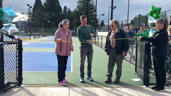
Roseburg Cuts Ribbon on New Outdoor Tennis and Pickleball Facility
Roseburg’s rebuilt outdoor Stewart Park complex is now open with eight tennis courts and 10 pickleball courts.
3 min readStay informed
Get the latest stories from Roseburg Tracker delivered straight to your inbox.