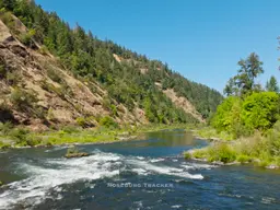
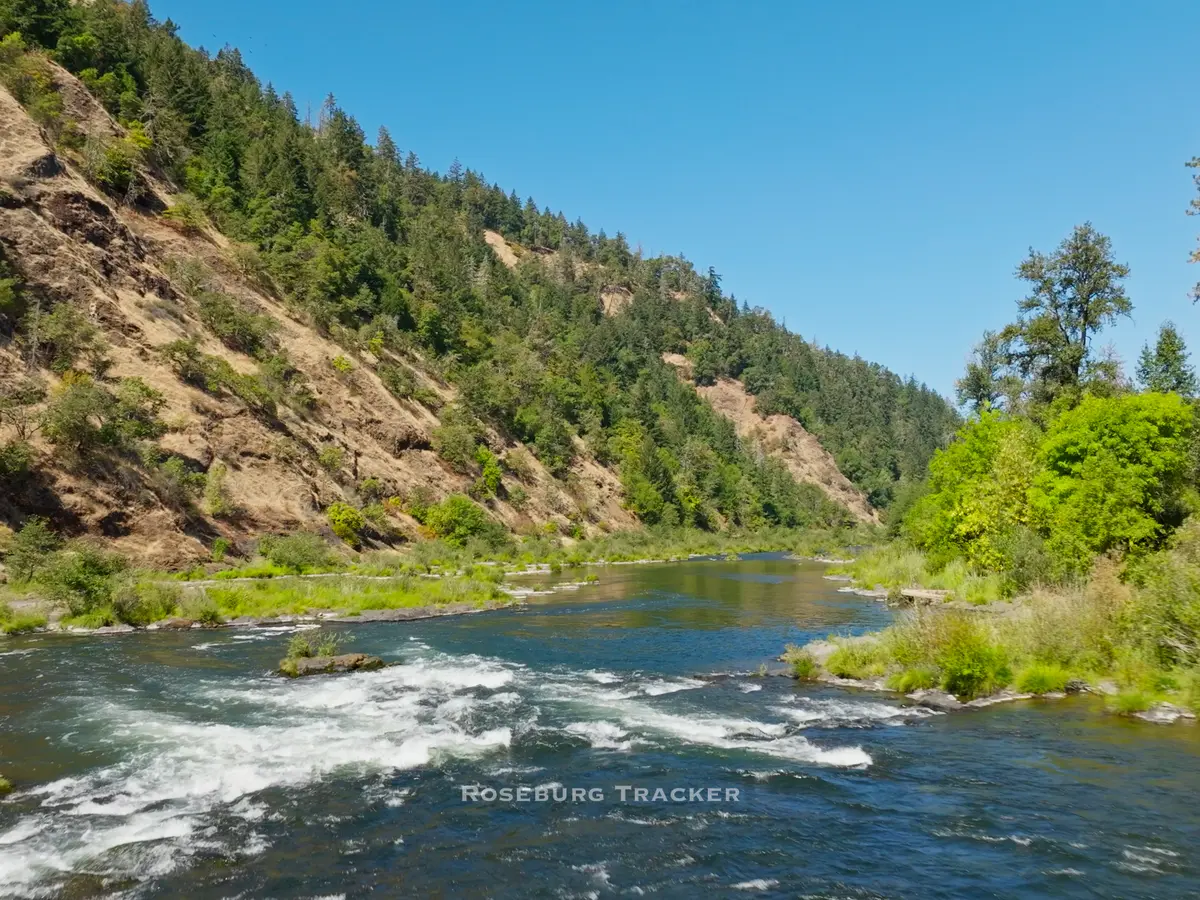
The Jack Fire Grew another 1,596 acres on Sunday and is now 12,533 acres and remains at 10% containment. Most of that growth was in the south and southeast area of the fire south of the North Umpqua River. The smoke should clear out of Douglas County by this evening. The wind picks up this evening which will help clear the smoke, but also could fuel additional growth on the Jack Fire. Here is the morning update from Jack Fire Incident Command: Fire information: The Jack Fire is currently estimated at 12,533 acres and is 10% contained. In areas north of HWY 138 firefighters made significant progress yesterday expanding areas cleared of fuel to strengthen containment lines. Near Steamboat, crews will continue to hold, secure, and mop-up the line moving to the east along the 4713 Road towards Dog Mountain. On the eastern flank, crews continue burning vegetation along containment lines moving south towards Dry Creek and north to connect with lines established along the 4713 Road. In the southeast, near Dry Creek, resources continue to burn vegetation along containment lines connecting the 4760 Road to the areas that have been cleared of vegetation near Dry Creek and Illahee Road. On the western edge of the fire, resources continue to brush out vegetation while holding and securing the line along the river and HWY 138. In areas south of HWY 138 the fire continues to be active. Today firefighters will hold and secure the 4714 Road on the western edge of the fire to establish an anchor point. An anchor point is an advantageous location, usually a barrier to fire spread, from which to start constructing a containment line. The anchor point is used to minimize the chance of being flanked by the fire while the line is being constructed. On the eastern edge of the fire, crews have begun constructing line by connecting existing trails and roads with handline. On the southern section of the fire resources continue to scout and prepare locations that are suitable for containment lines. Crews working on all sections of the fire face steep terrain and poison oak related difficulties. Structures: Firefighters continue supporting fire operations in the Dry Creek residential area with the goal of securing the burn out line to Highway 138 by the end of shift 7/12/21. Structural Task Forces begin demobilizing resources throughout the day today. Douglas Forest Protective Association will complete mission objective work at 1900 hours. Aviation: Air assets continue to provide ground resources with water and retardant drops to limit the spread of the fire and hold containment lines. Low visibility due to cloud or smoke cover can prevent aircraft from flying. Evacuations: All Forest Service campgrounds (Apple Creek, Horseshoe Bend and Eagle Rock) are on Level 3 evacuation GO order. The Dry Creek community as well as all residences on the Illahee Road are also in Level 3 evacuation GO order. Level 2 SET evacuations were issued from mile marker 38 to 43. This includes Steamboat Inn and residences located on Brindle Bug Road, Steelhead Caddis Road, and residences and businesses located between milepost 51 and 55 on Highway 138E. Please visit the Douglas County Sheriff’s Office interactive evacuation map: www.dcso.com/evacuations Closures: State highway 138E from Steamboat Creek to milepost 55 is closed to vehicle traffic. Steamboat Inn is also closed. Oregon Department of Transportation has set an eastside ‘soft closure’ checkpoint at Lemolo Lake junction to allow for local access into nearby recreation areas, including Lemolo Lake. Please visit https://tripcheck.com/ for updates on road closures. The Umpqua National Forest has issued an area closure around the Jack Fire. The full closure order and map can be viewed on InciWeb or at https://go.usa.gov/xGJSE. Weather: Today will be sunny with some areas of smoke. Temperatures will be between 82-92 with relative humidity ranging from 22-26%. Winds will be light from the northeast to northwest becoming gusty after 2 p.m. Air Quality: Smoke production and movement today and tomorrow should follow a pattern similar to yesterday, with light winds moving smoke to the south/southeast during the day, then down-slope air movement overnight. The Toketee area will have continued air quality impacts as smoke flow up-drainage during the day. Air quality at Crater Lake, Shady Cove, and Medford should be similar to yesterday with periods of improved conditions in the Crater Lake and Medford areas this evening. In the Shady Cove area, conditions will likely remain smoky overnight as smoke settles in the Rogue River drainage. Minimal, temporary smoke impacts may occur in Glide and Roseburg, and none are expected in Oakridge and Cottage Grove. For more air quality and smoke impacts visit https://oregonsmoke.blogspot.com Jack Fire Statistics: Acres: 12,533 Containment: 10% Personnel: 809 Date of Ignition: 7/5/2021 Cause of Fire: Under Investigation Structures Threatened: 243 Injuries: 8 Aircraft: 4 Dozers: 5 Engines 44 Road Closures Via ODOT: A wildfire is in the area. Use an alternate route. Oregon 138E (North Umpqua Highway) MP 38-55: OR138E remains closed due to the Jack Fire between Steamboat and Slide Creek. ODOT has set an eastside ‘soft closure’ checkpoint at Lemolo Lake junction to allow for local access into nearby recreation areas, including Lemolo Lake. Oregon Fire Updates: Grandview Fire - This fire is north of Sisters and started Sunday afternoon and immediately caused evacuations to occur. Reports overnight are that it's already at 2k acres. Bootleg Fire - Klamath Area - this fire is at 153,535 acres burned, still at 0% containment. Growth slowed significantly on Sunday due to the smoke from the fire suffocating itself. Wind gusts later today are going to pick up, which could cause growth to take off again.
Jack Fire Grows to 12,533 Acres
R
Ryan Finlay
·5 min read

More Stories


Stay informed
Get the latest stories from Roseburg Tracker delivered straight to your inbox.