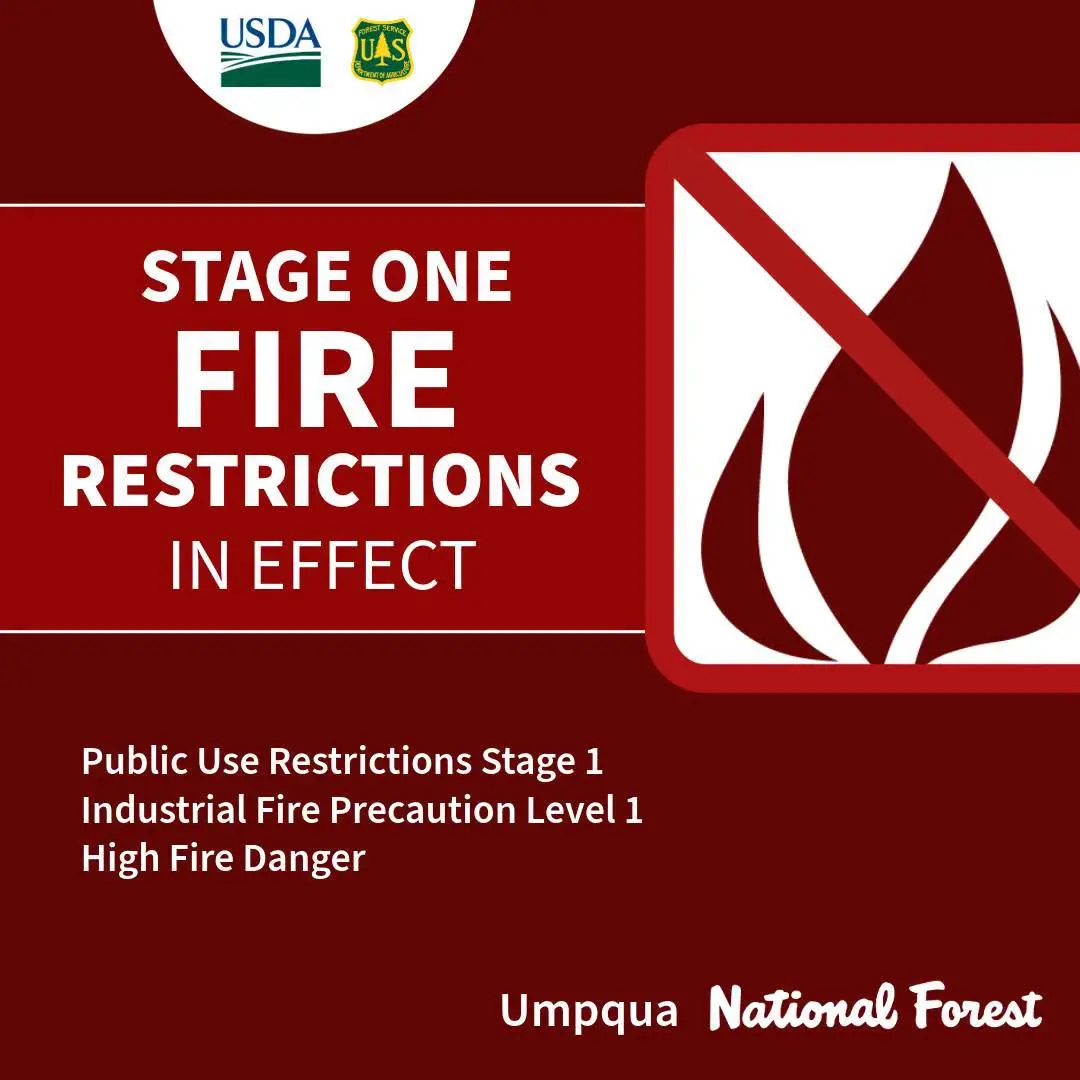
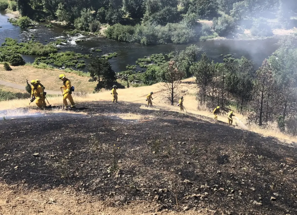
GLENDALE, ORE: Originally starting on the night of Sunday, August 31, 2025, at approximately 9:00 pm, crews from the Douglas Forest Protective Association (DFPA) and other rural firefighting agencies launched an aggressive initial attack on a fast-moving timber and grass fire near the 30400 block of Lower Cow Creek Road, approximately 5 miles west of Glendale, Oregon. After 48 hours of relentless effort involving seven 20-person crews, twelve aircraft, eight retardant drops totaling 28,000 gallons, five dozers—including a tethered dozer—six tenders, and multiple Type 6 and Type 3 engines, crews have successfully trailed and plumbed the entire perimeter of the estimated 145-acre fire and have achieved 10% containment. Now that the perimeter of the fire has been contained, crews have shifted their focus to extinguishing interior heat sources and beginning mop-up operations. Crews will work from the containment lines inward, extinguishing heat sources to create a secure buffer. Smoke will continue to be seen in the area as crews further progress. Weather conditions and interior heat continue to influence the current LEVEL 1, BE READY, evacuation status for a total of 5 homes near the fire. The current LEVEL 1 evacuation applies to the following: All addresses between 30482 - 31302 Lower Cow Creek Rd. A LEVEL 1 - BE READY EVACUATION NOTICE means you should be aware of the danger that exists in the area, monitor emergency services websites and local media outlets for updates. This is the time for preparation and precautionary movement of persons with special needs, mobile property, and (under certain circumstances) pets and livestock. If conditions worsen, emergency services personnel may contact you via an emergency notification system. An interactive evacuation map can be found on our website at [https://www.dcso.com/evacuations](https://www.dcso.com/evacuations). For the safety of firefighters and the public, the temporary BLM road closure will remain in effect. The closure order includes Cow Creek Road from the Ruben Historic Site to the intersection with Dad’s Creek. See the map for full closure details on the BLM website: [https://www.blm.gov/programs/public-safety-and-fire/fire-and-aviation/regional-info/oregon-washington/fire-restrictions](https://www.blm.gov/programs/public-safety-and-fire/fire-and-aviation/regional-info/oregon-washington/fire-restrictions). The investigation into this fire is ongoing, but it has been confirmed to be human-caused. High temperatures and low humidity levels are forecasted for the area, with a 4–16% chance of lightning until Wednesday, August 3. At this time, we remind the public that there is high fire danger throughout lands protected by the DFPA. Please follow the existing restrictions to prevent human-caused fires. For more information on DFPA regulations, visit [www.dfpa.net](http://www.dfpa.net). Via DFPA
Dads Creek Fire Update: 10% Contained
R
Ryan Finlay
·2 min read

More Stories


Stay informed
Get the latest stories from Roseburg Tracker delivered straight to your inbox.